9th December 2024
Meet Tom Graham, GIS Analyst
A career in wind was always right in front of Tom Graham, Geographic Information System (GIS) Analyst at Caledonia Offshore Wind Farm.
In his blog, Tom tells us more about his role and how he supported the project with its biggest milestone to date, the onshore and offshore consent applications.
Can you describe yourself in three words?
Driven, outgoing, and inquisitive.
Being driven is essential. It’s important to ask questions and actively seek out information to grow and learn. I think of myself as very outgoing, and I’ll often step out of my comfort zone seeking new opportunities.
The offshore wind industry was relatively new to me when I started, but I’ve used my inquisitive nature to adapt and understand the industry and navigate its technical complexities.
Did you always want to work in the offshore wind industry, or did you have other career ambitions?
Despite growing up with onshore wind turbines visible from the hills outside my bedroom window and scattered over the hills surrounding my grandmother’s farm, I never considered a career in renewable energy. As I approached the end of my university studies, I developed a strong ambition to work in an environmentally focused role. This ultimately led me to Mott Macdonald in Cambridge, where I began my career as a GIS consultant. My role focused on spatial data and its interaction with the environment.
My introduction to offshore wind came when I was seconded to work with Scottish Power Renewables on the East Anglia Hub. Over the course of that year, I quickly realised the critical role wind energy would play in the future and this was something I wanted to be a part of.
Can you tell us about your role as an GIS analyst?
As a GIS Analyst, I use specialised software to manage, present and visualise data in various formats. These tools allow me to analyse geographic information and gain insights into the world around us.
I leverage this data for internal analysis, such as determining the proximity between a proposed cable corridor and residential properties, assessing the size of potential substation sites, and understanding the interactions between various onshore and offshore features. Whilst maps are an effective medium to convey information, data can be displayed within online platforms or provided as coordinates in a variety of coordinate reference systems.
Additionally, we manage a significant volume of incoming data and we must ensure this data is consistent, properly formatted and ready for use in both onshore and offshore elements of the project. Everything we are creating has an exact location: it’s important that we can effectively communicate these locations to multiple stakeholders, and they can be used to make informed decisions. This information needs to be accessible and understandable, so maps are an effective way to convey this
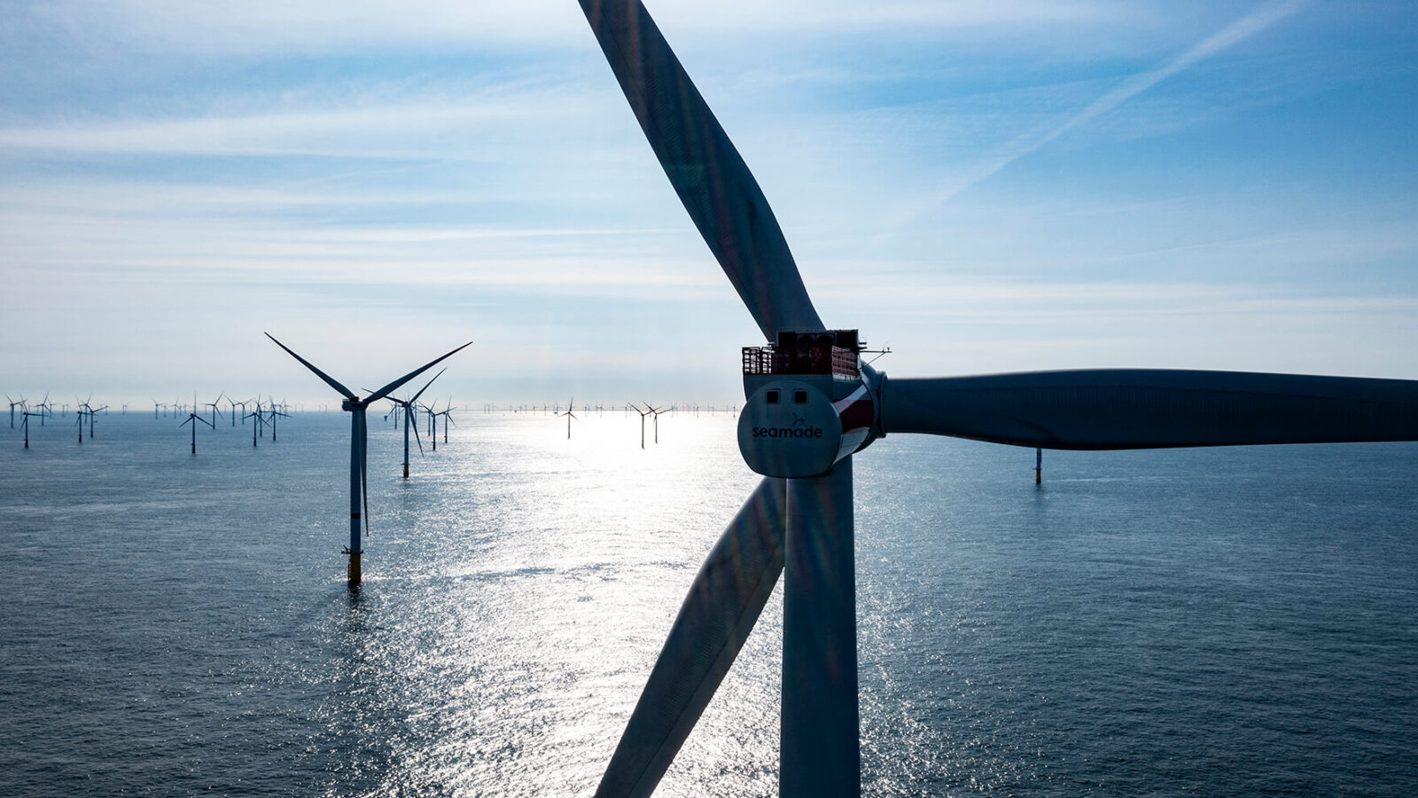
Consent applications for Caledonia have now been submitted, how did your role support this milestone in the project?
I was heavily involved in defining the onshore and offshore consent boundaries, which were drawn by our team using GIS. This process required input from a variety of packages, to help us understand how different factors could impact each other. For example, we had to carefully consider how to use the data to make informed decisions, such as identifying barriers to construction near protected areas.
Additionally, I managed the contractor and subcontractors responsible for the GIS element of the EIA submission, ensuring that these outputs were as uniform and standardised as possible.
What has been the highlight of working on Caledonia so far?
With a background in consultancy, it’s been interesting to be on the client side. I’ve learned a lot about how project programmes are created and the tendering processes, as well as project mobilisation. It’s been great to get that exposure, and this has really elevated my professional development.
Being involved in an onshore aerial survey is a standout moment from my time at Caledonia so far. This involved a contractor flying a plane over the site to collect topographic data, which will be used by engineers to better understand the terrain and ultimately inform decisions about where and how to build.
What excites you most about your future career in offshore wind?
Each day we get closer to turning the vision into reality. While everything feels quite theoretical at this stage, the submission of the consent applications marks a significant milestone, making the next phase feel within reach. It’s exciting to think about what comes next as we transition from planning and proposals to, hopefully, physical construction. For me, I’m looking forward to the theoretical becoming tangible, when the groundwork of our hard work starts to materialise. Until then, each step forward, the next being securing consent award, feels like a major achievement on the path to bringing this project to life.
What is the best professional advice you can give, or you have been given?
When you are presented with an opportunity to learn and grow, always say yes. This is particularly important during the early stages of your career as it allows you to continuously build on your professional development. If possible, becoming chartered in your field is also worthwhile as it helps boost your professional acumen and its great recognition with an external body. For example, I’m currently a chartered member with the Royal Geographic Society.
Tell us something about yourself that would be a surprise to most people
I have recently started open water swimming and competed in a 3K swim in Loch Lomond. I’m currently training for medium to long distances in the hope I can complete a 5K next year