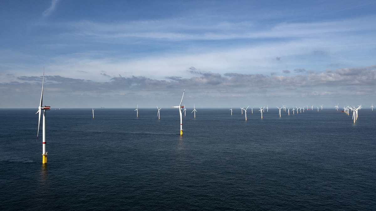
Sediment from deep bore hole samples from across the Moray Firth site will provide crucial geotechnical data to allow further planning of the 2GW project’s engineering design and installation phases.
Following the success of the recent geophysical survey campaign, the geotechnical survey will see the use of Gardline’s Horizon Geobay vessel. This will support soil analysis across the 429km2 site – specifically core penetration tests and borehole sampling.
Sarah Graham, Caledonia Offshore Wind Farm Head of Engineering, said:
“Ocean Winds has built a robust data catalogue of the Moray Firth throughout its decade-long presence in the area. Our goal now is to build a clear picture of the ground conditions across the Caledonia site area to inform the engineering design of the project. Collecting this data is an essential part in determining the wind turbine foundations, ensuring we select structures suitable for the site.”
The offshore campaign will run until the end of 2023 (weather dependent).

