20th November 2025
Caledonia conducts drone surveys over onshore infrastructure corridor
Ocean Winds recently commissioned StirlingX to run a series of drone flights over part of the onshore infrastructure corridor for the Caledonia Offshore Wind Farm.
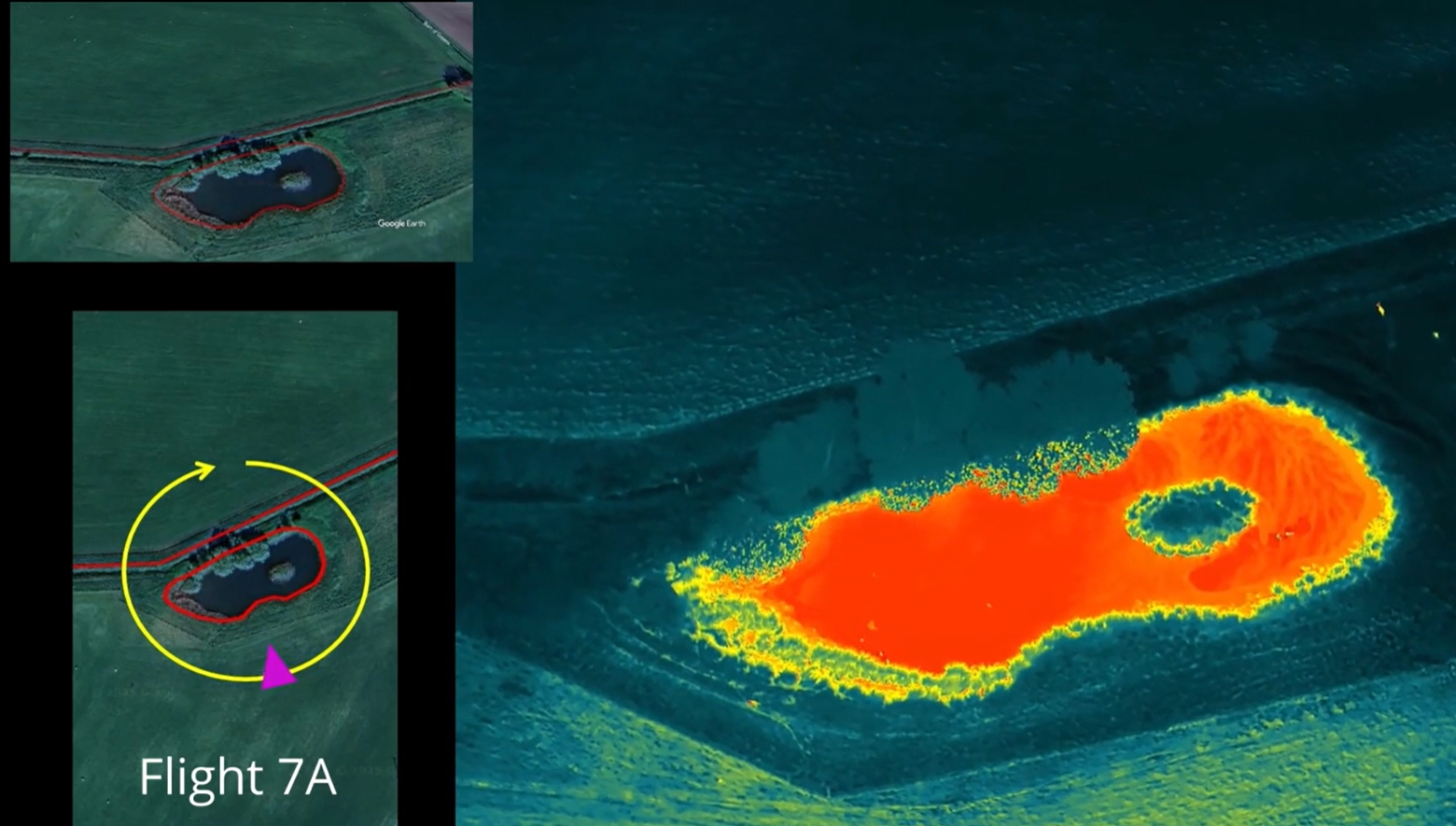
StirlingX has a beyond visual line of sight (BVLOS VM) license allowing flights up to 9km away, enabling data to be collected while reducing impacts on local landowners and livestock.
This work will allow the Caledonia team to assess topographic data and thermal imagery to identify species such as badgers and bats as well as use near-infrared and multispectral imagery to identify any potential peatland. This will help create a better understanding of the onshore infrastructure corridor, helping Caledonia minimise potential environmental impacts as much as possible.